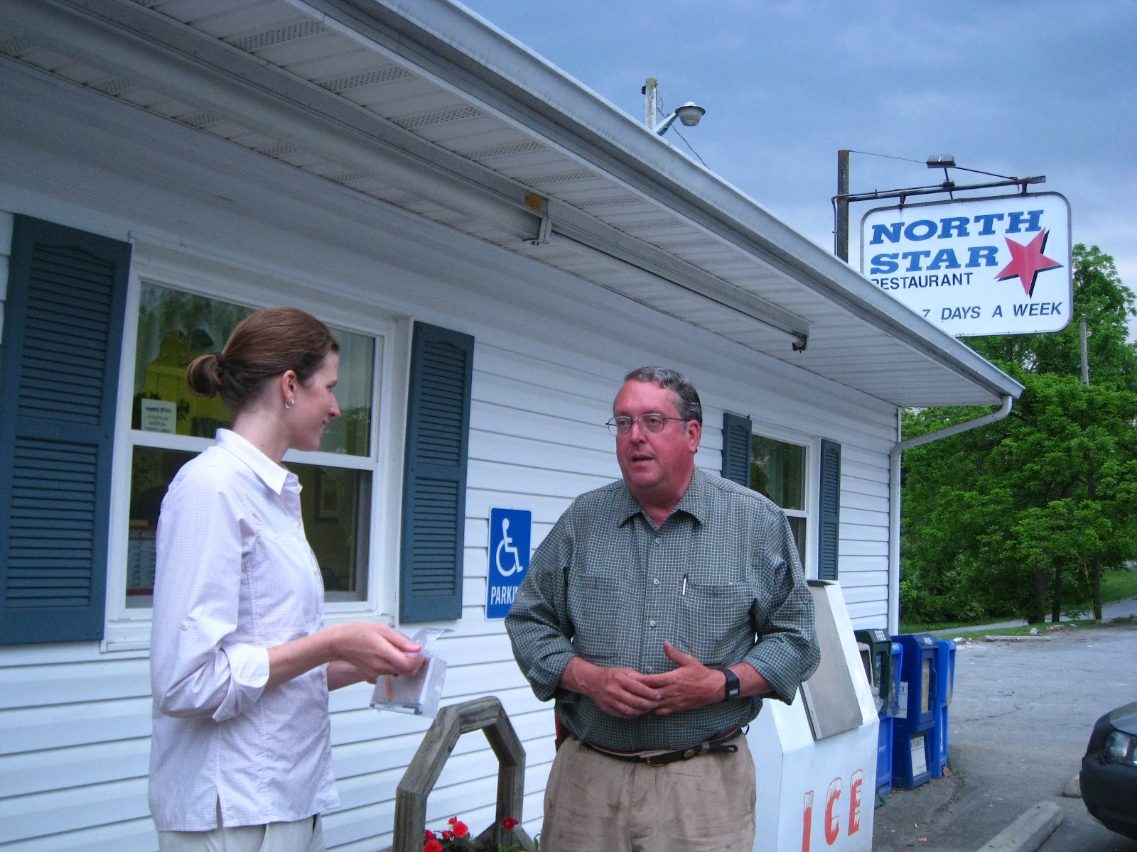

 As we walked along the trails at the Locher Tract, Frits told me about his experiences as a geologist, first in the petroleum industry, then for 26 years as a hydrogeologist with a very large consulting firm. He traveled all over the world, mostly to arid regions to help foreign governments and corporations develop access to water. When he and his wife retired to Rockbridge County, he said,"I've got to do something instead of staring out of the windows." So, he continued his scientific exploration by researching and writing about water and other environmental resources of Virginia. For the Environmental Almanac of Virginia, Frits poured through maps, charts, scientific studies and other references dispersed throughout the vaults of different state agencies, searching for statistics on the state's water resources, solid waste production, pollution, natural disasters, wildlife, and more. After compiling and boiling down the technical jargon, he ended up with a reference book that regular students and adults could understand. No one had ever before compiled a comprehensive reference about Virginia's environment. The same can be said for his Water Atlas of Virginia. I can only hope I am half that productive in retirement!
 It didn't take long after moving to Rockbridge County for his expertise as a hydrogeologist to be requested. When a coal-burning power plant was proposed to be built in Buena Vista, he was asked to helped fight against it. Frits' scientific inquiries and testimonies in court brought to light that there would not be enough water to supply the cooling plant, which helped to defeat the proposal. "I was really proud of that," he said. Frits remains active in issues of local preservation and resource protection with his fellow members of the Rockbridge Area Conservation Council.
 Frits also recently completed a book about floods in Rockbridge County. When I asked him about his findings from that research, he said, "Whenever we get three inches of rain, we get flooding in Rockbridge County." Earlier this week in fact, flash floods roared in the streams right here in this part of the county, closing schools and requiring firefighters to evacuate several people from their homes. According to some caught in the flood, it was the worse flooding since the mid-1990s (WSLS 10 news channel). For valleys with the worst flooding impact on homes, he explained that the County has a program to help people move out of the flood zone to avoid recurring damages and safety risks. I imagine that many communities around the state would benefit from a program like this, especially as this type of extreme weather becomes more common.
Before heading back home, I asked Frits which waterway he would take a friend to visit if he had never before been to Virginia. Unhesitatingly, he said the Chesapeake Bay. Hmm...I think I'll go there, then.
Laurel