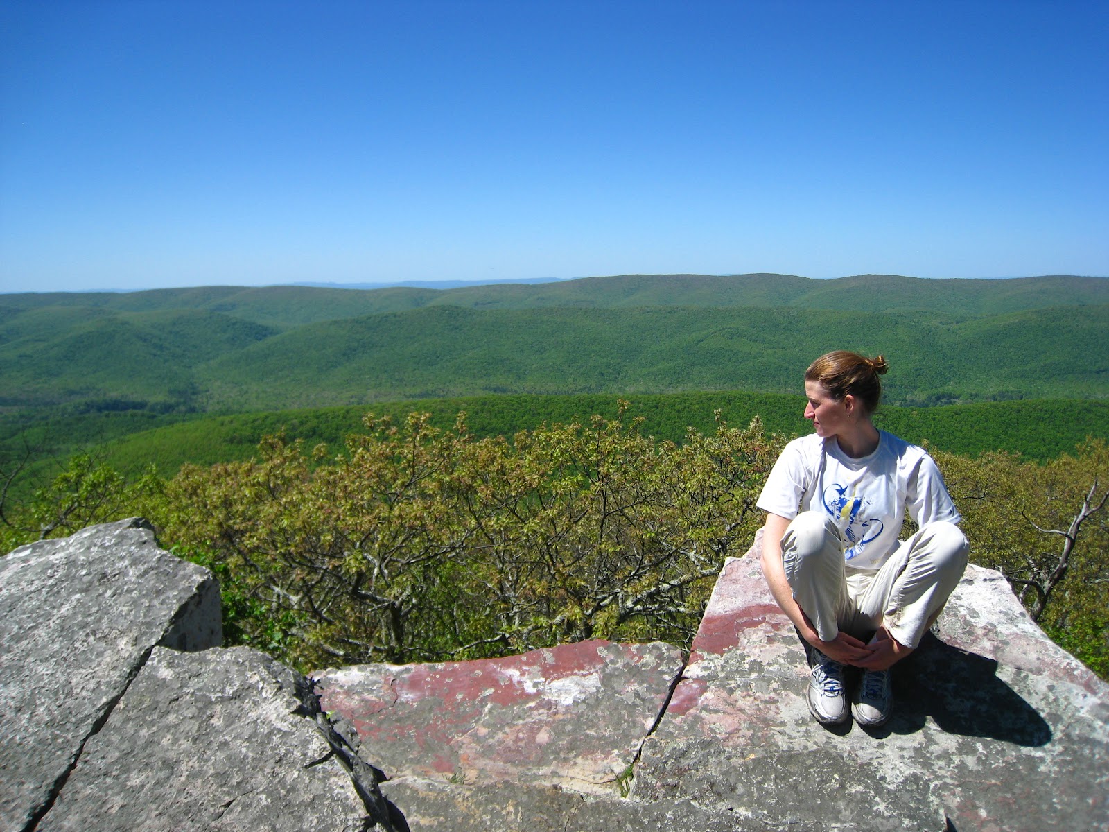
The West Virginia border runs right along the top of Peters Mountain, so Ryan and I spent much of our second day zig-zagging in and out of the state. Spring has sprung up there - trilliums and pink lady slippers, flaming azaleas in bloom, & the mountain laurel just starting to open up. We passed by Rice Fields which has an incredible open view into WV. The remaining clouds of the day swept through the gap into Virginia and soon dissipated into a blue sky for the rest of the day. The entertainment of the day was to glance up and see a glider zip alongside or above us along the ridge, the only warning being a slight hum and rattle of wings. We probably saw gliders pass 10 times. The people must have figured that if the uplifts are perfect for migrating hawks up here, must be good for the gliders too. Hopefully they don't try to fly through at the same time.
We spend the night at the base of Peters Mtn listening to Pine Swamp Branch bubble down through the rhododendrons.
On the third day of hiking along the Appalachian Trail we got to see many familiar faces -- folks through-hiking from Georgia to Maine. We leap-frogged with them along the trail since we got an earlier start than some of them but they are speedy speedy. Ryan says by this time tthese north bound hikers have trekked 650 miles or so. Man, I've got it easy.
We veered off the AT at Wind Rock overlook and headed down the road a few miles to Mountain Lake Biological Station where we spend Saturday. We get to learn soon about this mysterious dissapearing lake. Will report back!
Laurel